The Course
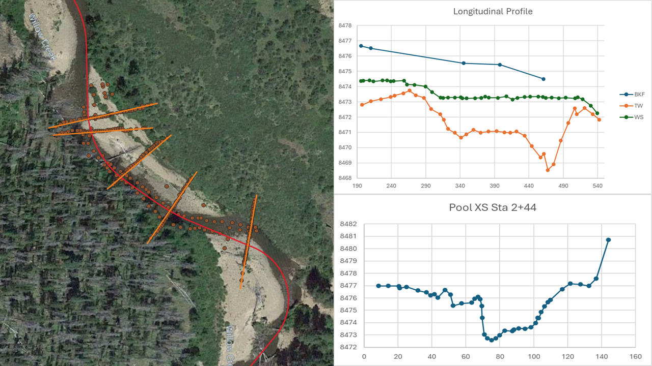
This hands-on course guides you through processing field data into usable two‑dimensional graphs. The videos begin with a clean installation of QGIS and walk you through installing two essential plugins. The first plugin provides access to aerial imagery, and the second is the Station Offset Tool.
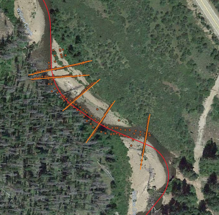
The tools included in the Station Offset Plugin allow you to import survey data, name cross‑sections based on their intersection with a centerline alignment, and project three‑dimensional points onto a two‑dimensional line (Station Offset).
By the end of the course, you will be able to confidently process survey data using free open‑source tools available today.
Curriculum
Your instructor
I’m Greg Taillacq, a co‑owner of Tailwater Limited. Tailwater Limited developed the Station Offset Plugin for QGIS to better help people process data, that do not have access to expensive software packages to process their own data. Tailwater Limited has been in business since 2016, and aimes to use the company as a foundation for educating people in water resources.
In this course I will walk you through how to use the Stream Tools Plugin.
Tailwater is continually developing tools that help professionals and students become more efficient spending less time on remedial tasks and more time creating solutions to real‑world problems
Practical
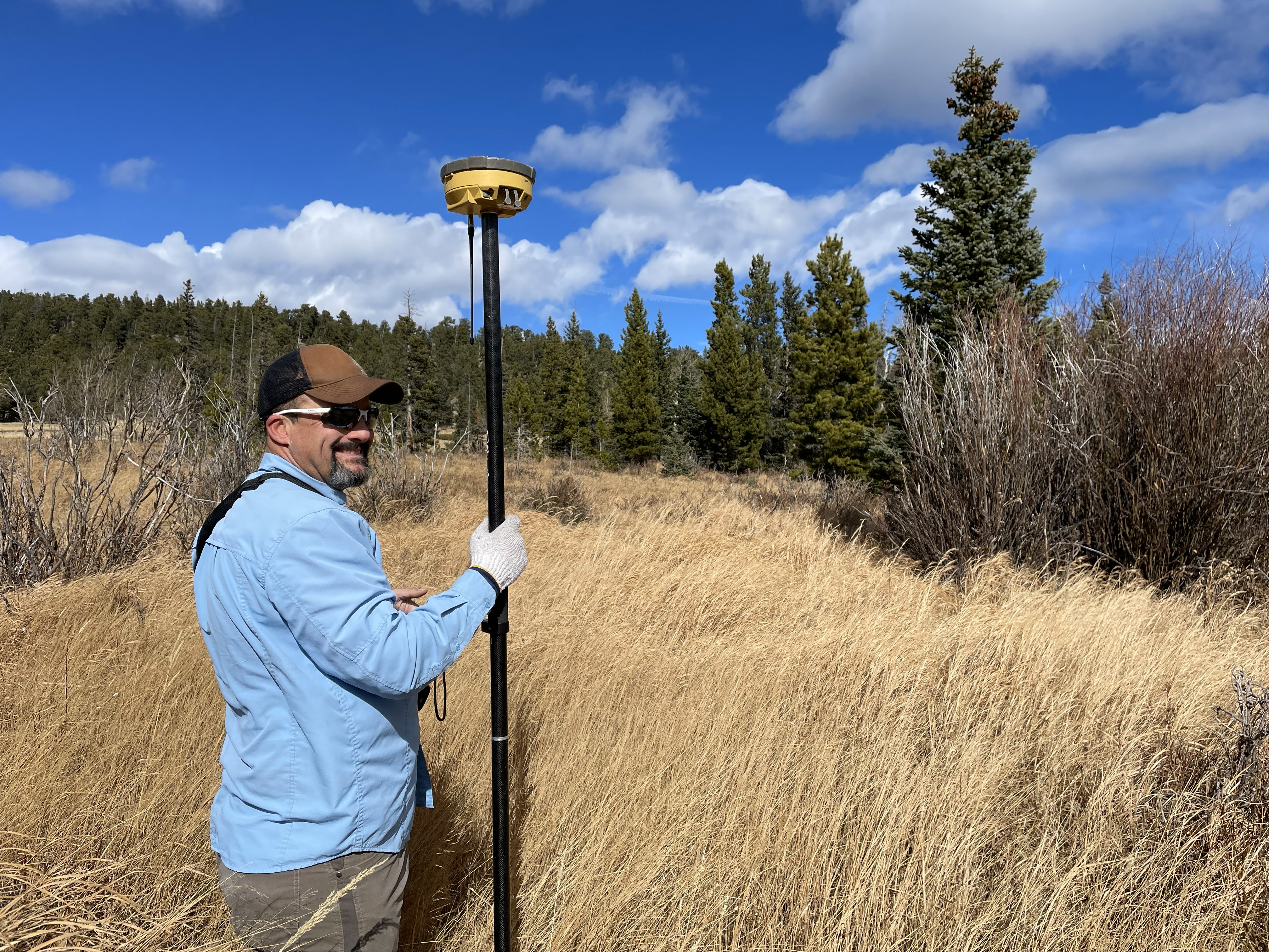
Step-by-step techniques for running the Station Offset Plugin in QGIS on real survey data
Efficient
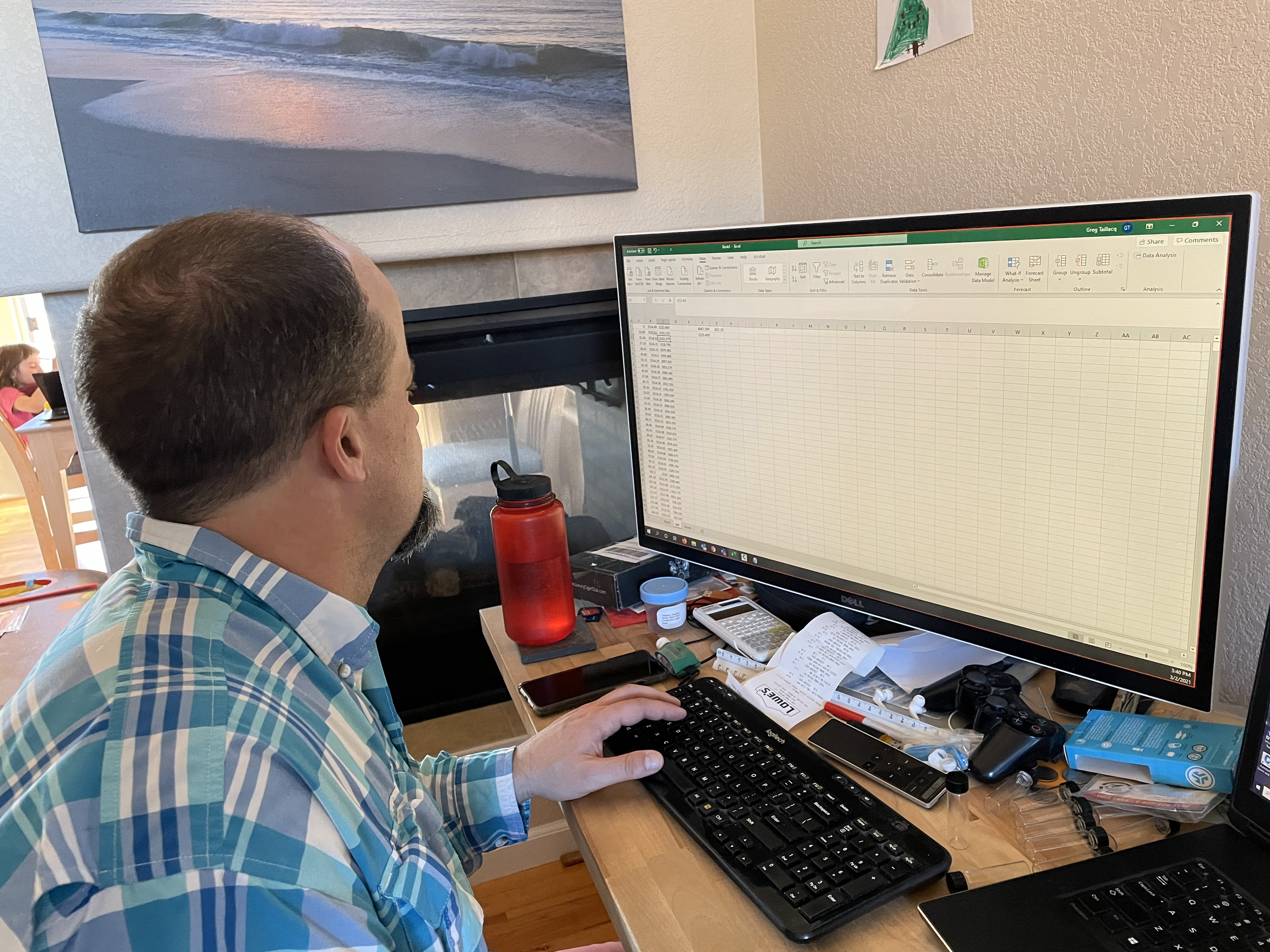
Accelerate workflows and minimize errors while running the Station Offset Plugin in QGIS