Browse products

Browse products

Product filters:
search
© 2026 Form and Process
  • Terms of Use
  • Privacy Policy
Form and Process logo

Main menu

Includes navigation links and user settings

Form and Process logo
  • Browse products
  • Log in
Product image for Civil 3D Stream Design

Civil 3D Stream Design

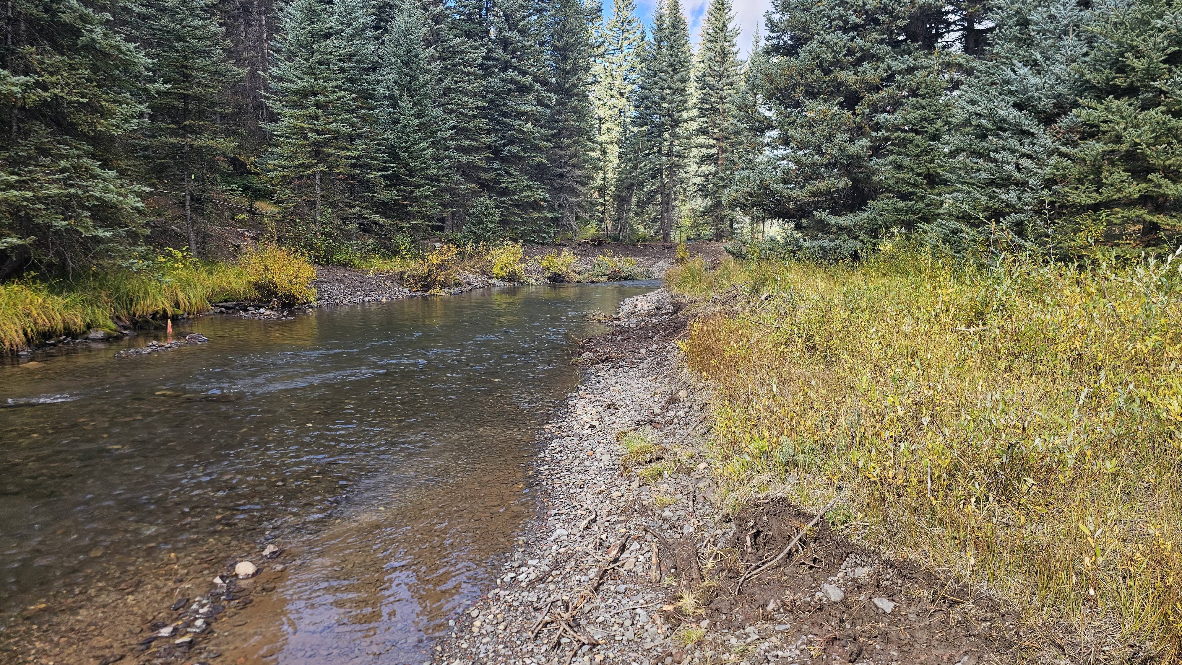
The Stream Design Series provides a step-by-step demonstration of Tailwater Limited’s river design workflow in Autodesk Civil 3D. This series covers key processes such as creating an existing ground surface, setting up data shortcuts, and developing alignments, offset alignments, profiles, bankfull benches, and corridors. Using the design alignment and profile, we then apply Stream Tools—an Autodesk Civil 3D plugin developed by Tailwater Limited—to generate 3D breaklines for riffle-pool grading within the bankfull channel, enabling precise and efficient river design. This design methodology is excellent for developing an understanding of site conditions and limitations, grading quantities, and developing design surfaces for use in GPS controlled construction equipment. This course is developed for stream restoration practitioners that are interested in computer aided design for stream restoration. Start your journey toward advanced river design—enroll now!

Course•By Greg Taillacq
Learn more
Product image for Civil 3D Stream Design Plan Production

Civil 3D Stream Design Plan Production

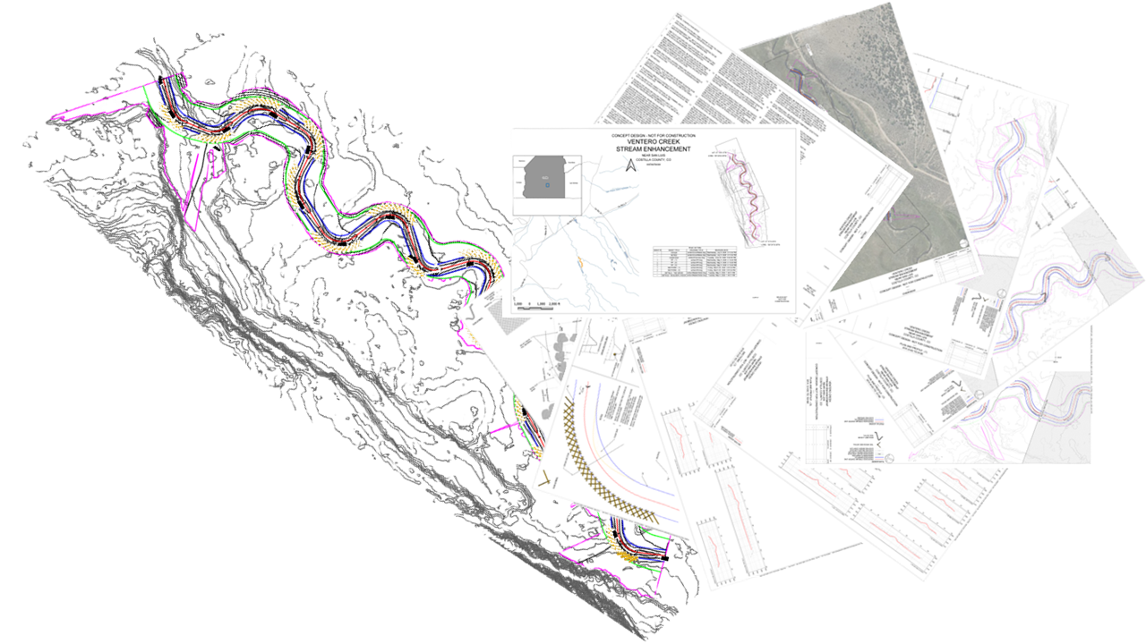
Using the design model developed in the C3D Stream Design course, I will guide you through creating a complete plan set. This set will include a cover sheet, notes sheet, overview sheet, plan and profile sheets, cross‑section sheets, and detail sheets. The course also includes my sheet and style templates, along with the drawings produced during the presentations.

Course•By Greg Taillacq

Learn more
Product image for Design and Production Bundle

Design and Production Bundle

Bundle and save on both the design and production courses!

Bundle

Learn more
Product image for Station Offset Plugin

Station Offset Plugin

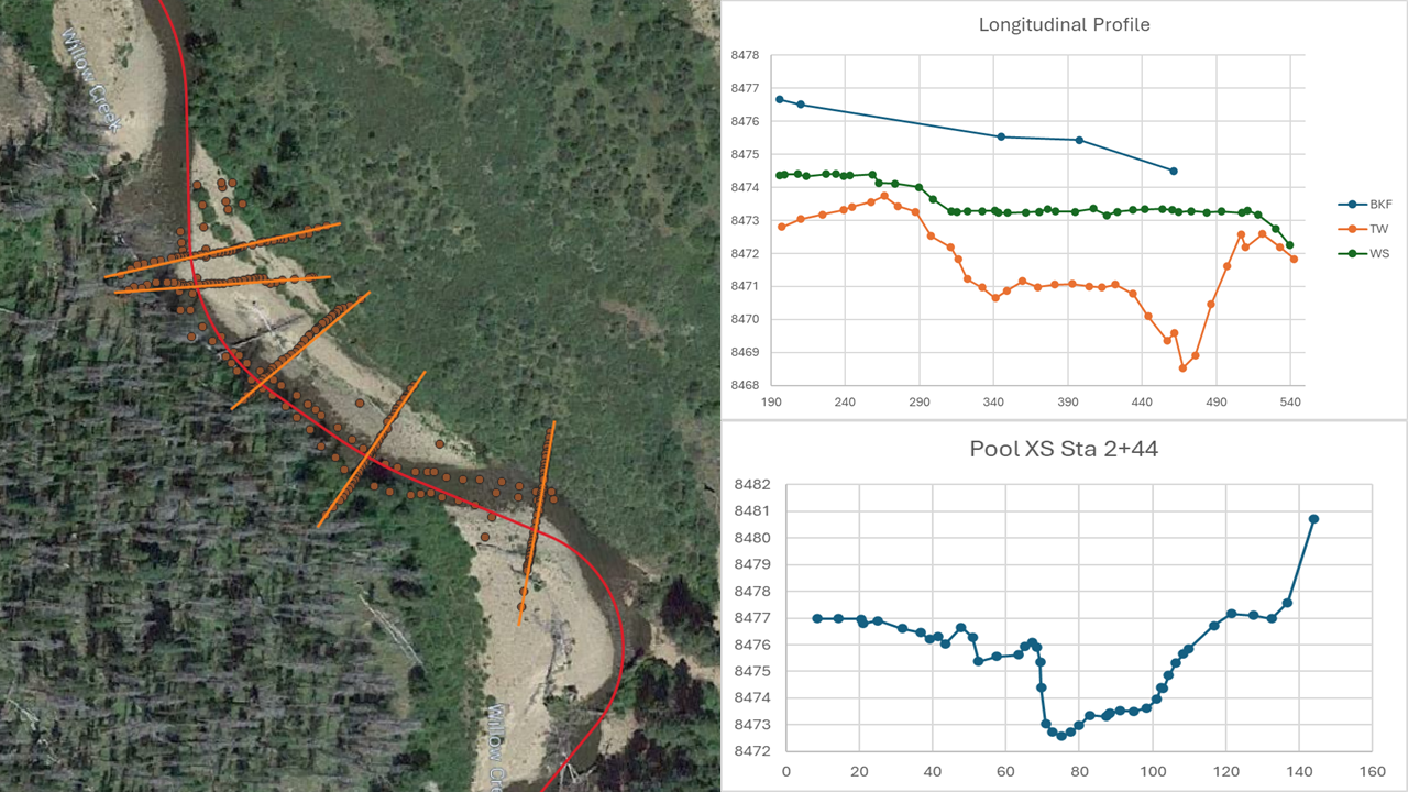
This course provides step-by-step instructions for running the Station Offset Plugin in QGIS. The Station Offset Tool in QGIS is a plugin developed by Tailwater Limited. The plugin makes it possible to project 3-dimensional survey points to a line. QGIS along with the Station Offset Plugin are available for free.

Course•By Greg Taillacq

Learn more
4 products found